 Zoom in on the Ranch from above Zoom in on the Ranch from above
I was reminded of these images yesterday by a fortunate encounter...
I looked out my office window yesterday morning (Thursday 2/28/02) and saw a
man in an orange vest wondering my property. I went out to see what was up, and
it was a USGS surveyor surveying our quadrangle! He was a really friendly guy
and seemed as excited as I was to talk about everything I asked. I spent the
next 45 minutes talking to him about the last 750 million years of geological
history, including the formation and destruction of our mountains! I took him
all over my property getting his analysis of the different rocks I had wondered
about. It was very cool. It's not everyday a professional geologist walks into
your yard!
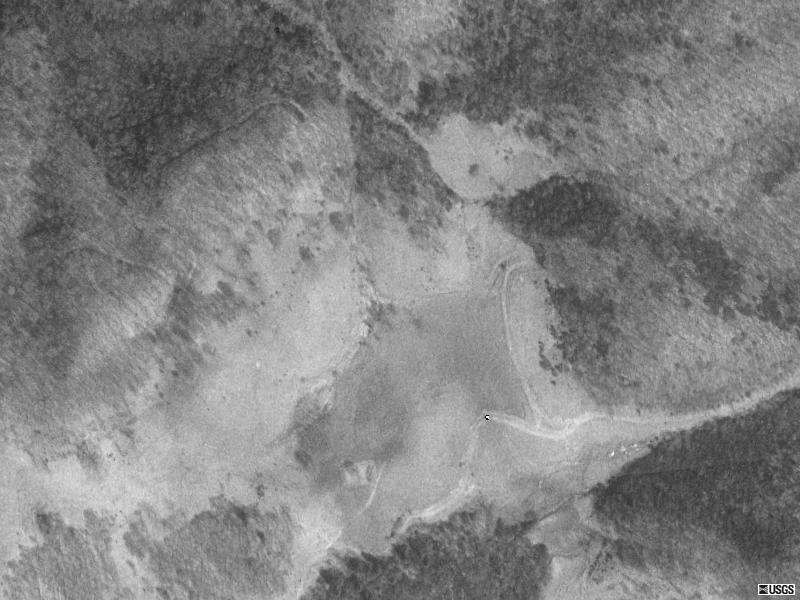
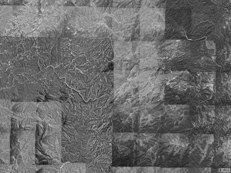
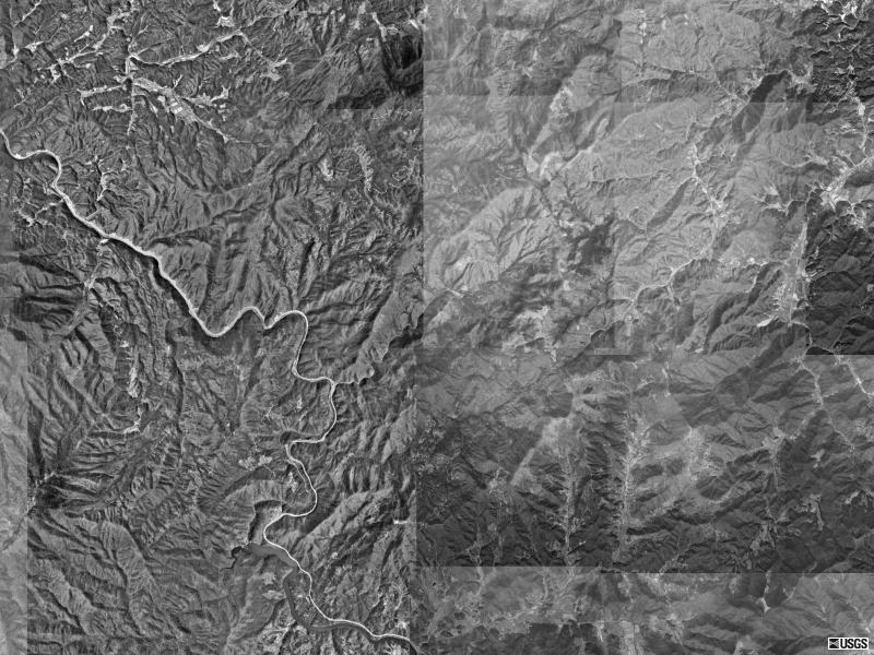
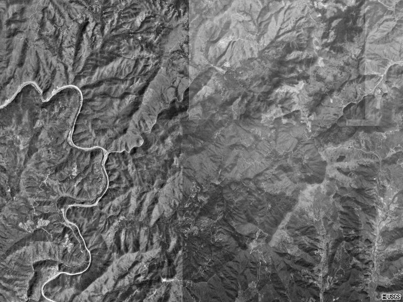
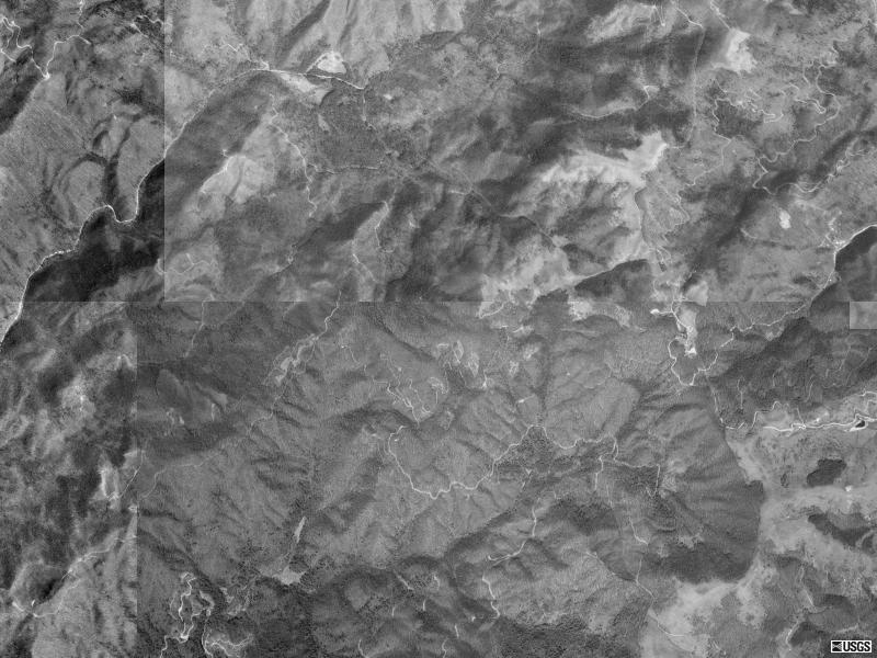
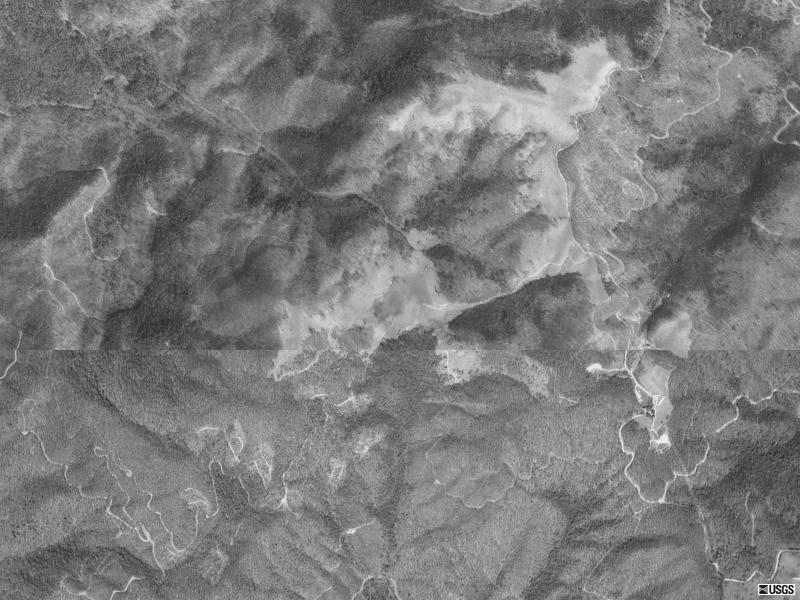
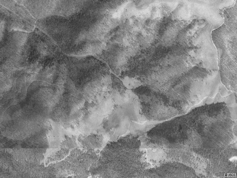
Anyway, here are a series of aerial photos taken by the U.S. Geological
Survey on April 13th, 1992. They show an increasingly closer view of the Ranch.
These are pretty fun and I bet you will scroll them back an forth more than a
few times! ....
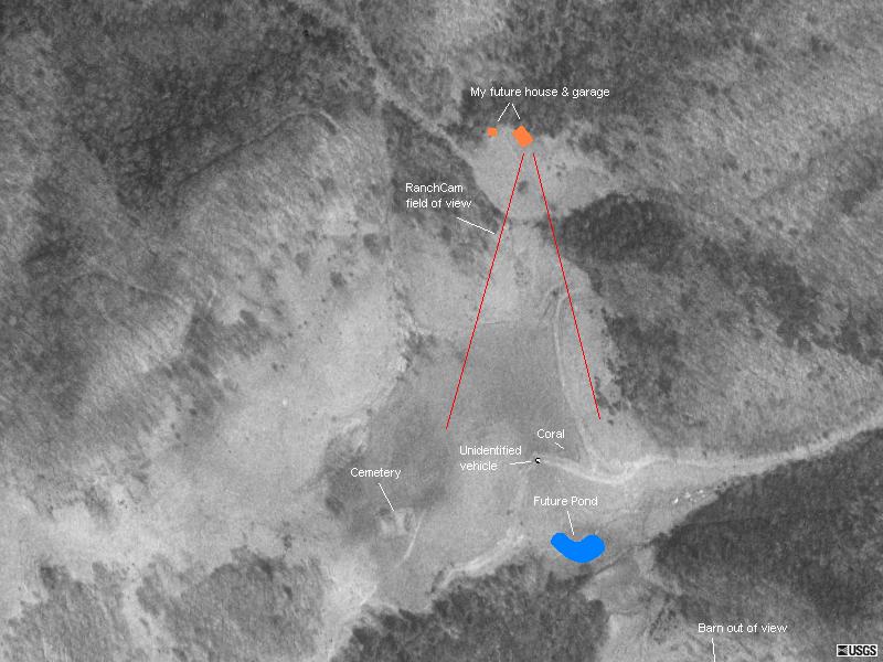
Just in case you are not as intimately familiar with the layout of the Ranch
as I am, and are wondering what in the world you are looking at. Here is the
closest image with a few existing and future landmarks indicated. The Ranch has
changed a little since 1992
|